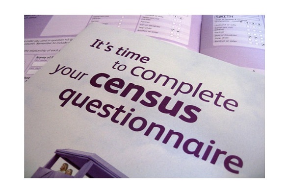
The 21st March marks a once-in-a-decade moment – the 2021 Census. The Census does not only help ensure the correct funding of services in your community; it is also an incredibly important tool for research.
Here are some examples of how researchers from the University of Liverpool’s Geographic Data Science Lab use the information from the Census to better understand society.
Helping to support responses to the COVID-19 pandemic – Caitlin Robinson and Francisco Rowe
To best respond to the COVID-19 pandemic, we need to understand which people and places are most affected. Mapping the number of COVID-19 cases for Local Authorities across England allows us to pinpoint high numbers of cases in post-industrial communities in the north of England.
But what is it about these communities that make them to be more susceptible to the virus? The most comprehensive information available about the social and spatial make-up of communities in England is provided by the Census.
Data from the Census highlights how deprivation, an inability to work from home and relative dependency on public transport are key predictors of high numbers of COVID-19 cases, issues that local policymakers could focus on. Read more here.
Describing who lives where and why – Alex Singleton
The National Census of the Population can tell us lots of interesting things about people and the places in which they live. However, with so much detail, it can often be difficult to summarise the main geographic patterns. Geodemographic classifications provide a solution to this problem, and have been regularly created from the Census since the 1970s.
They were also first developed within the UK as a case study of Liverpool by a graduate of the University of Liverpool’s Department of Geography and Planning! The Output Area Classification (https://maps.cdrc.ac.uk/#/geodemographics/oac11) was developed in partnership with the Office for National Statistics and provides useful insight into local neighbourhood geography.
Geodemographic classifications are used in a wide range of applications across both the public and private sectors. For example, our London Output Area Classification (https://mapmaker.cdrc.ac.uk/#/london-output-area-classification) was used by Transport for London to allocate funding that encourages active travel of its residents; making neighbourhoods healthier and more sustainable. Once the 2021 census become available for small areas new geodemographic classification will provide new insights into the contemporary structure of the UK.
Understanding how communities and neighbourhood change – Francisco Rowe and Dani Arribas-Bel
The UK has persistently experienced a very high level of inequality over the last four decades. These inequalities are manifested geographically. In terms of regional inequalities, the UK stands up as one of the most unequal countries in the industrialised world across a range of economic, health and wellbeing performance indicators. COVID-19 have evidenced this and is set to exacerbate existing geographic inequalities.
To plan and develop for effective spatial policy interventions to balance these inequalities, understanding the socio-economic structures of places at a very granular geographic level is key and the Census is a major resource available to build such understanding. By linking Census data from 1971 to 2011, we have able to construct the historical context within which these inequalities have developed at a very level of spatial detail.
This work has informed the development of a series of policy proposals led by the UK2070 Commission, an independent inquiry into inequality across the UK. Read more here.