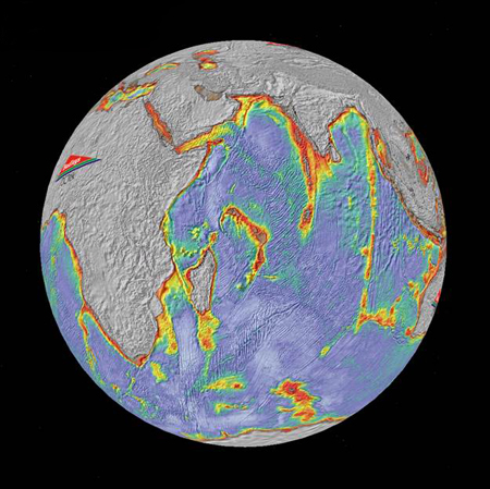
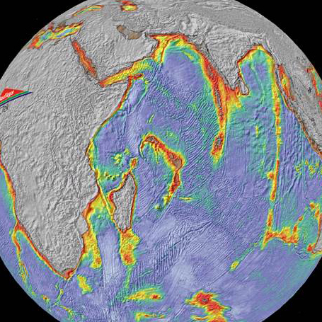
A map of crustal thickness for the Indian Ocean derived from satellite derived gravity anomaly data (Map produced with permission of Badley Geoscience)
Scientists at the University of Liverpool have found evidence of an ancient micro-continent buried beneath the Indian Ocean.
The ancient continent extends more than 1500 km in length from the Seychelles to the island of Mauritius and contains rocks as old as 2,000 million years, much older than the Indian Ocean which has formed only in the last 165 million years.
Mauritia
The research team believe that this micro-continent, which they have named Mauritia, was split off from Madagascar and India between 61 and 83 million years ago as one single land mass rifted apart to form the continents around the Indian Ocean that we know today. Much of it was then smothered by thick lava deposits as a result of volcanic activity and submerged beneath the waves.
Scientists from the University of Liverpool’s School of Environmental Sciences used satellite derived data to map crustal thickness under the Indian Ocean.
Collaborating researchers from Oslo University analysed sand grains from beaches in Mauritius, a volcanic island about 900 kilometres east of Madagascar. They found the sand contained tiny crystals of ancient zircon, a mineral normally associated with a continental crust and dated between 660 million and two billion years old, a lot older than the sand grains which were formed from the nine million-year-volcanic activity on Mauritius.
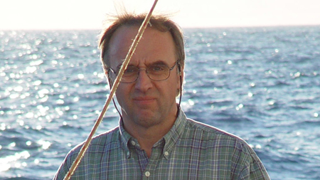
Professor Nick Kusznir: “We see what may be five or six other micro-continent fragments under the Indian Ocean”
Professor Nick Kusznir, who led the University of Liverpool’s processing and analysis of satellite gravitational field anomalies to map the Indian Ocean crustal thickness, said: “Our expertise in mapping crustal thickness beneath the oceans has revealed many large areas where the crust is much thicker than normal. When you put this information together with the analysis of the zircons found on the beaches of Mauritius we can conclude that there are remnants of fragmented continents under the Indian Ocean.
Micro-continent fragments
“We see what may be five or six other micro-continent fragments under the Indian Ocean. More research needs to done to confirm this. We also see similar features in the Atlantic and Arctic Oceans.”
The crustal thickness mapping techniques using satellite data developed by Liverpool and industry partners are applied to deep-water oil and gas exploration in frontier areas and have also been used for governments making UNCLOS law of sea territorial claims.
The research is published in Nature Geoscience.


